Why Our Roads Are Where They Are
Have you ever looked at a map and wondered why the roads are where they are? At first glance, you may look and think there must have been a straighter, more direct way to get from point A to point B. There are multiple reasons why our roads and interstates are laid out the way they are. It helps to understand that these trails and roads occurred gradually throughout the modern history of our country.
Geography
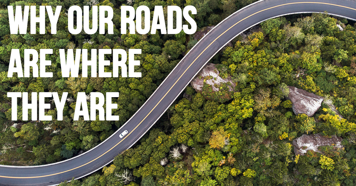
Perhaps the biggest factors in how our roads are laid out today are topography and geology. Roads often found themselves following rivers, where the land was relatively even. Roads were forced to go around insurmountable peaks, rock formations, and wide bodies of water. If a road turns or changes directions, it is often because some natural element may make that turn necessary.
Borders
Roads are often influenced by governmental borders and boundaries. Frequently, road maintenance has been based on jurisdiction, and, although not a major factor, how and where roads are laid out has been influenced by city, county, state, and even national borders.
Established Routes
We may not appreciate that many of our modern roads and highways have their roots in locations in old trails where settlers moved west and where cattle were driven. Time and time again, you will find that modern freeways often mimic these old horse-drawn trails.
Railroads
We often forget that railroads preceded the automobile. This meant that it was up to the railroads to determine the most efficient way to get from one place to another. The railways often used not only geography and old established routes as the basis of how tracks were laid out, but also wanted to include desired destinations along their railways.
Interstates
The most recent major influence on how we get from one place to another by vehicle is the Interstate Highway System. This national project took decades to complete and efficiently connects our entire country. If one looks at a pre-interstate highway map of the United States, you can see how the Interstate system followed some of our most established routes.
It may not seem like it, but our highway system is incredibly efficient. It is the result of trial and error through generations.
We are all looking for more efficient ways to do things. When it comes to car insurance, that can mean contacting one of our independent insurance agents. They can shop from our network of insurance companies to find the best coverage at a price you can embrace. Connect with us to get started.


 as Temperatures Rise")


